 |
|||||||
St. Paul International Airport - Flight Simulator - PC - Flightbeam Studios |
|||||||
 |
|||||||
 |
 |
||||||
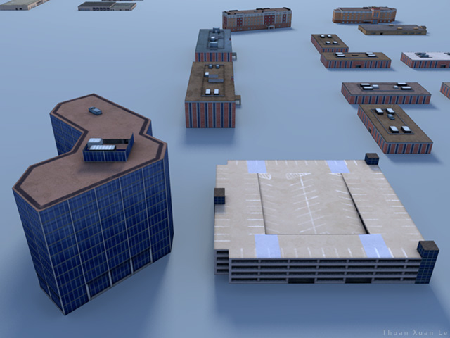
Google Earth references of surrounding buildings outside St. Paul International Airport, Minnesota: Metro Dr and Metro Pkway area |
|||||||
 |
|||||||
 |
|||||||
 |
|||||||
 |
|||||||
 |
|||||||
 |
|||||||
 |
|||||||
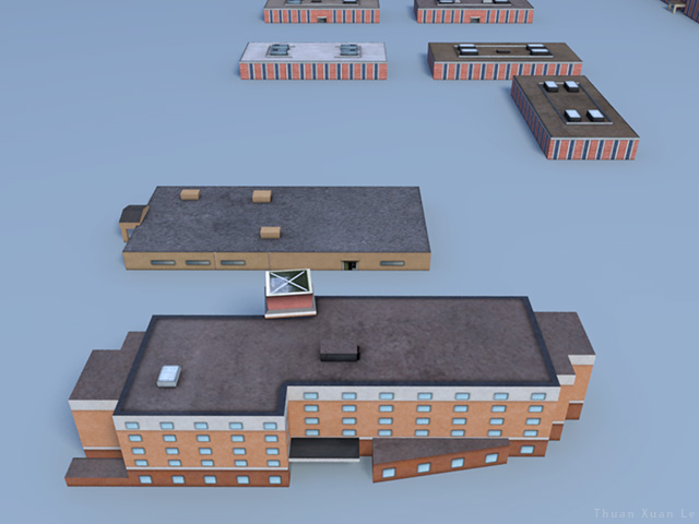
Google Earth references of surrounding buildings outside St. Paul International Airport, Minnesota: Lindau Ln and 26th Aves - 28th Aves area |
|||||||
 |
|||||||
 |
|||||||
 |
|||||||
 |
|||||||
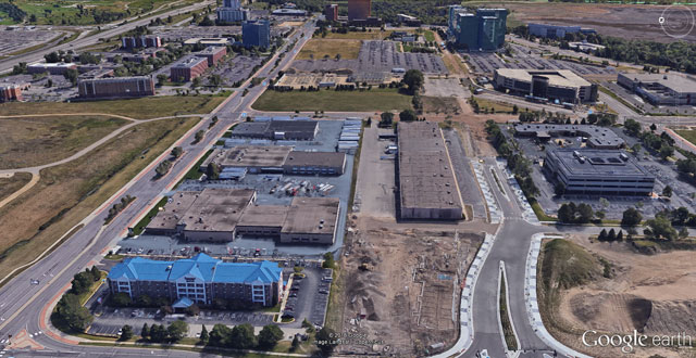
Google Earth references of surrounding buildings outside St. Paul International Airport, Minnesota: Ikea Way and American Blvd East area |
|||||||
 |
|||||||
 |
|||||||
 |
|||||||
 |
|||||||
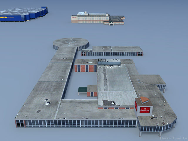
Google Earth references of surrounding buildings outside St. Paul International Airport, Minnesota: Ikea Way and American Blvd East area |
|||||||
 |
|||||||
 |
|||||||
 |
|||||||
St. Paul International Airport - Flight Simulator - PC - Flightbeam Studios |
|||||||